Welcome to BerkenG Inc., your trusted partner for professional LiDAR scanning services.
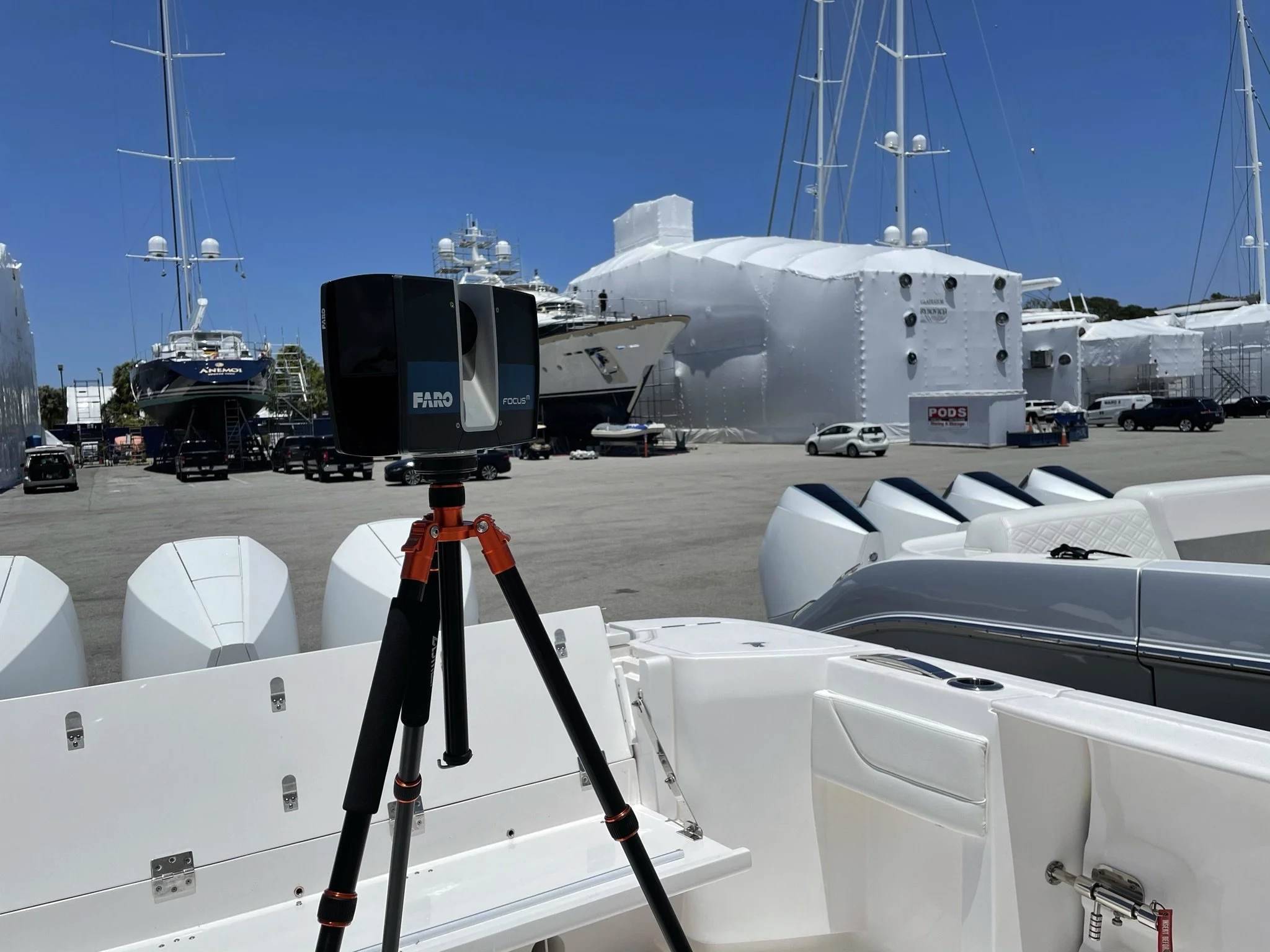
If you build things that rely on something else's geometry, conditions, and status, you have encountered the challenges of capturing complete and accurate information. Dimensions, photographs, and other documentation can be challenging to collect and sometimes impossible with the available tools and resources. Our LiDAR scanning services are designed to eliminate these challenges, saving our clients money and time.
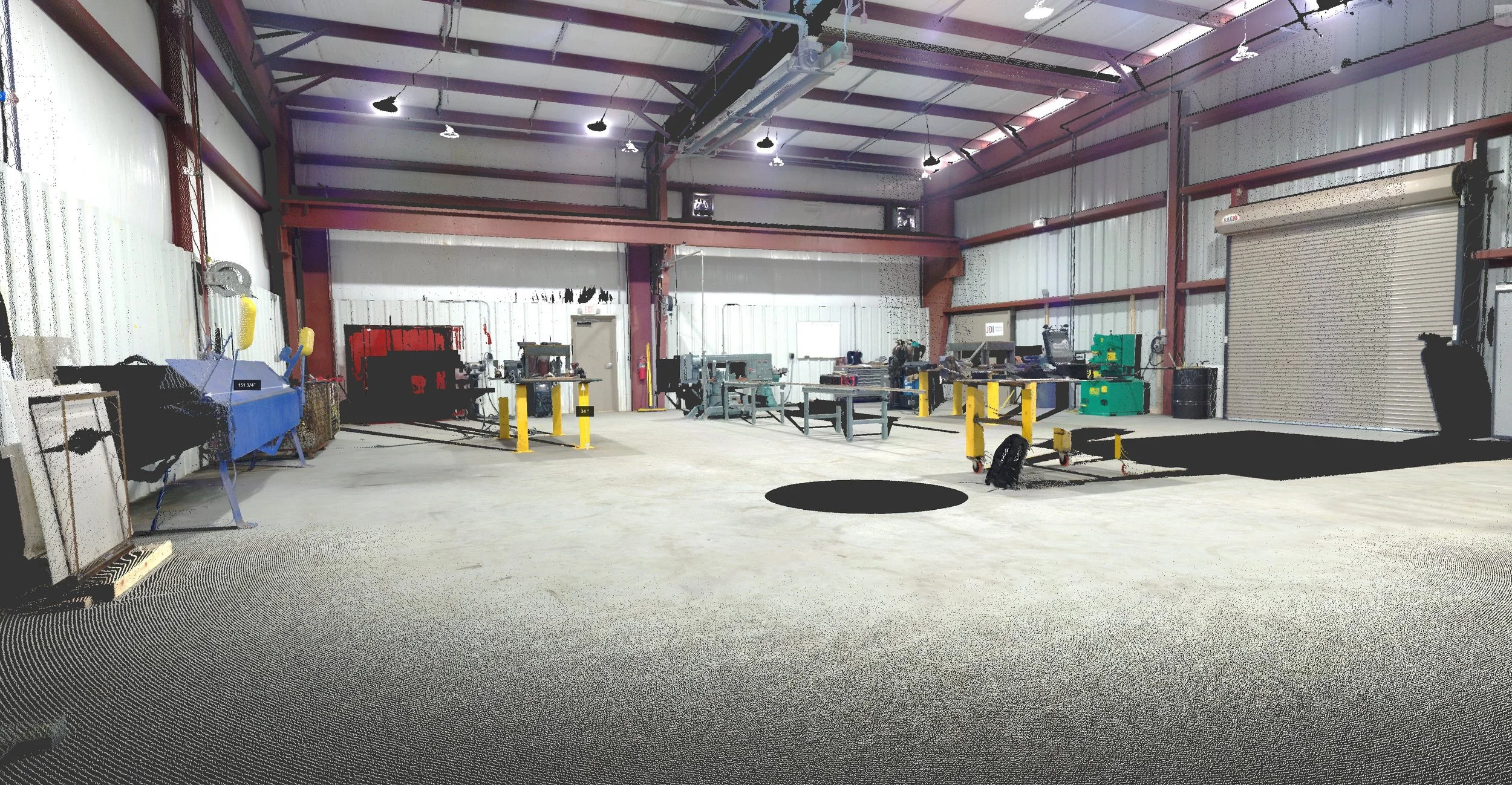
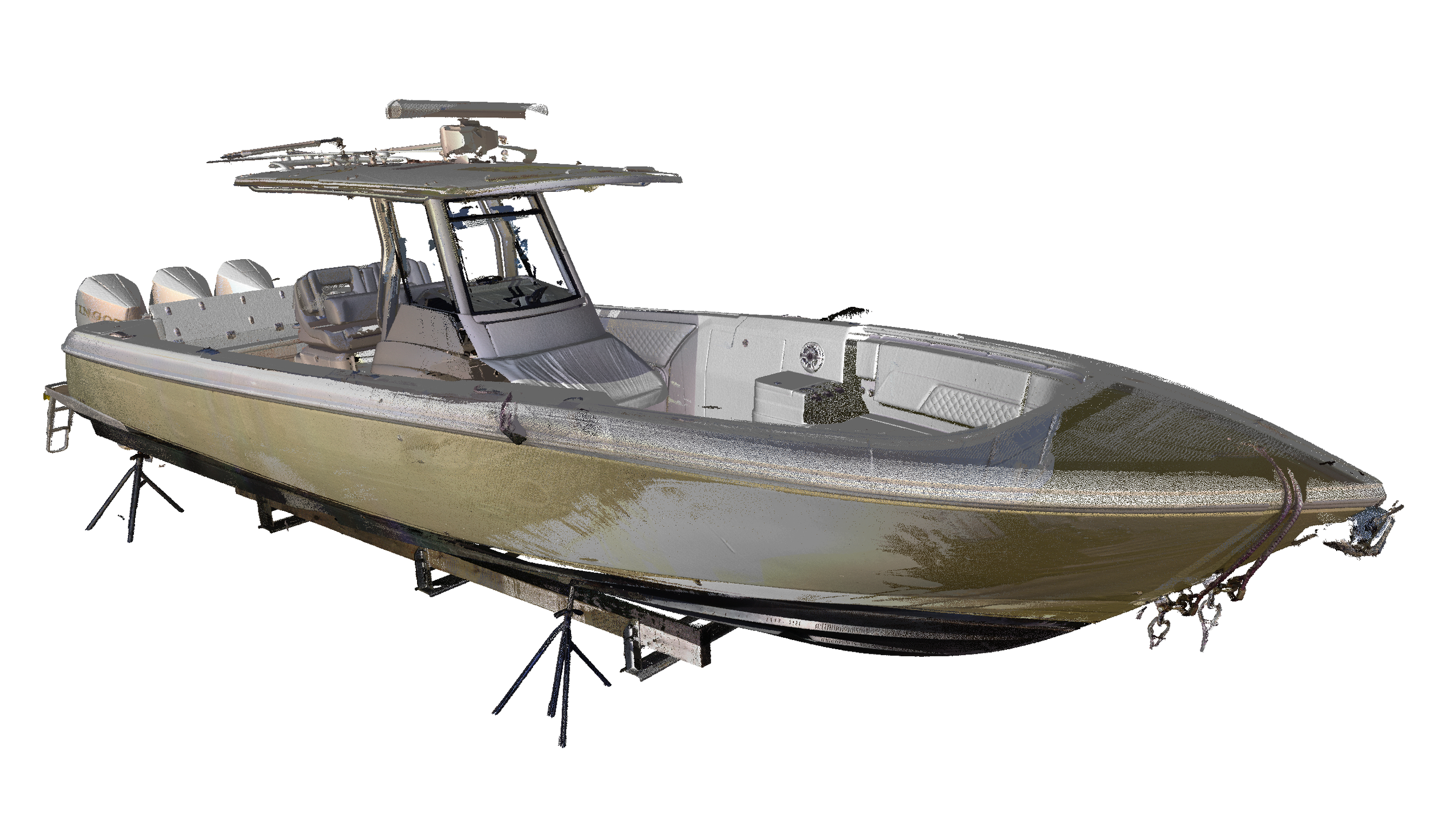
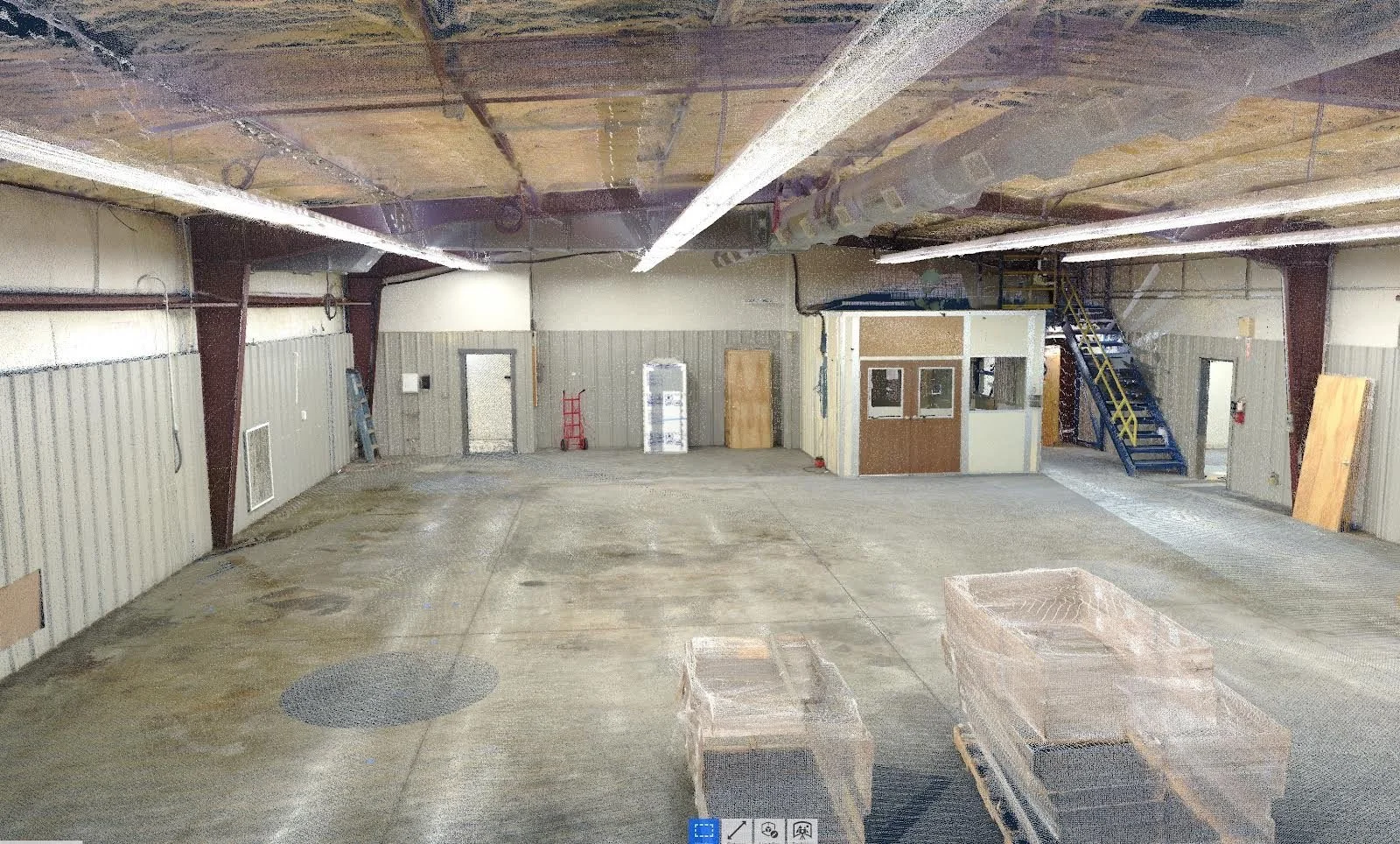
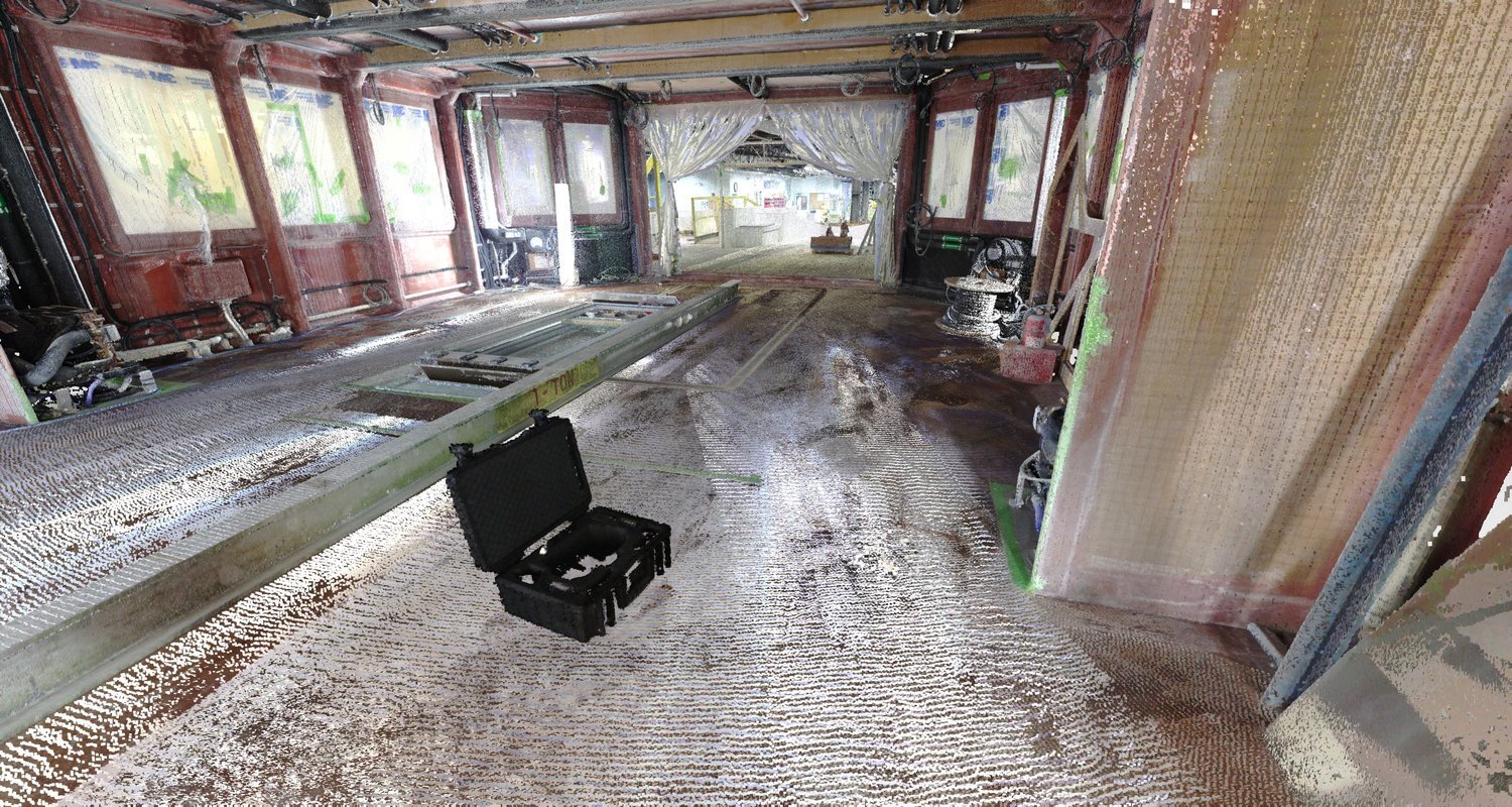
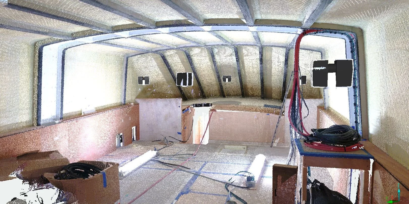
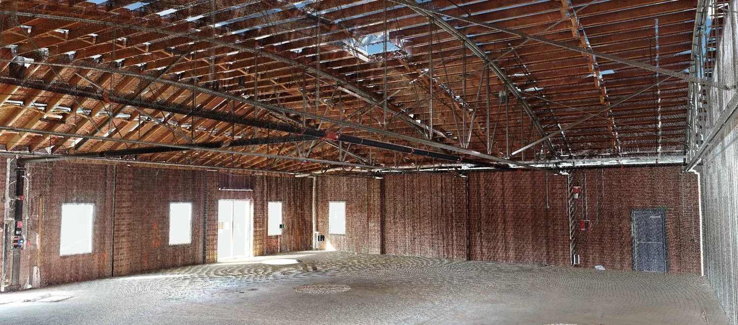
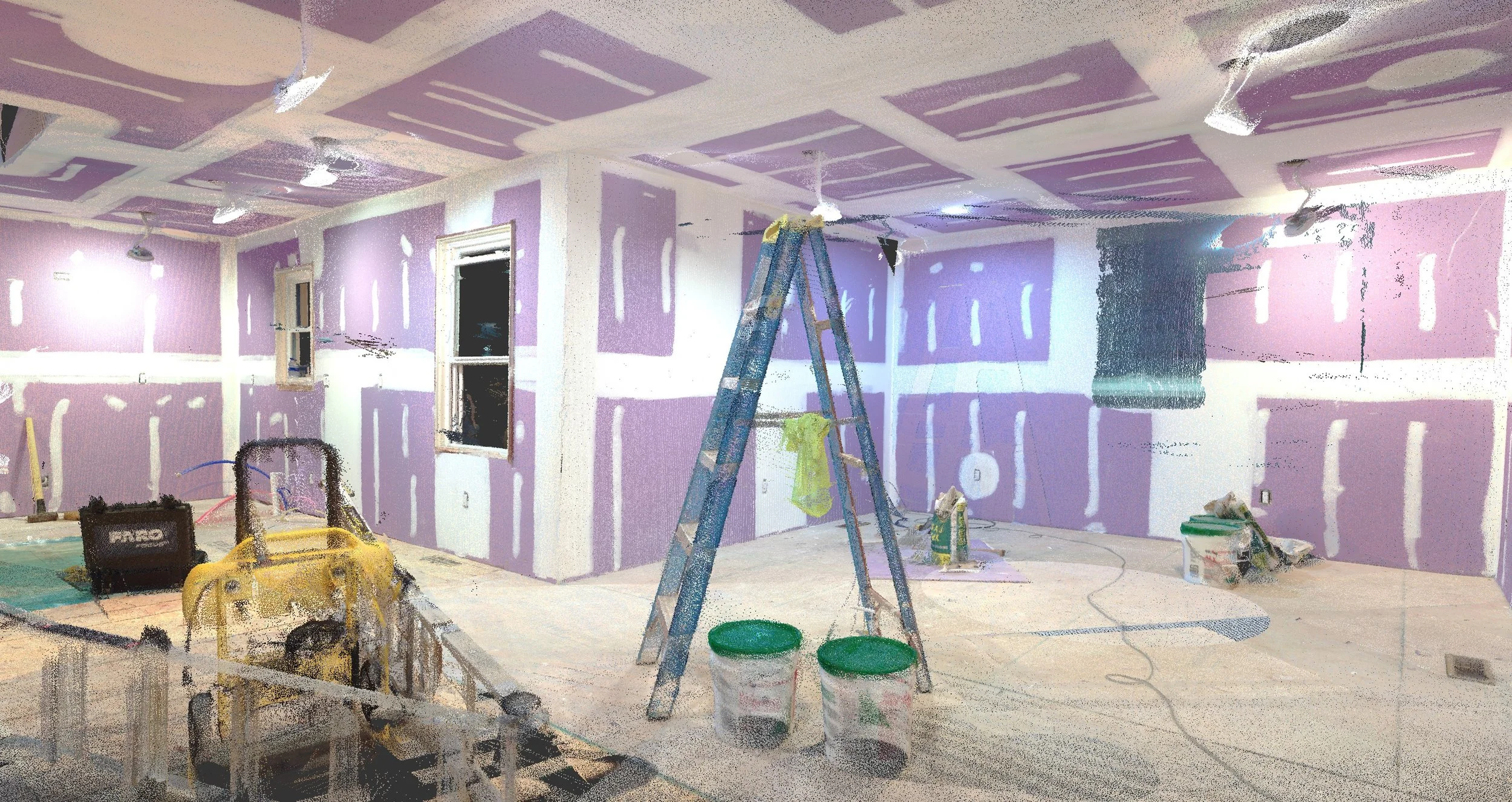
LiDAR scanning is a remote sensing method that uses laser light to measure the distance to objects. This data can create highly accurate 3D point clouds and 360-degree images of the world around us. LiDAR scanning is a powerful tool that can be used for a variety of applications, including:
Construction Field Measuring: LiDAR scanning can be used for field measuring to create accurate 3D point clouds of building sites, which can help to plan and execute construction projects more efficiently.
Design and Engineering: With the construction field measurement, architects, interior designers, and engineers can import the scan data into their CAD or BIM software to design directly to real-world field conditions.
Civil Engineering: LiDAR scanning can create 3D point clouds of bridges, roads, and other infrastructure projects. This data can be used to design and build safer and more efficient infrastructure.
Surveying: LiDAR scanning can be used to survey large areas of land quickly and accurately. This data can be used to create maps, identify potential hazards, and plan development projects.
Historical Structure Documenting: Our scan data can be used to replicate exteriors and interiors for both remodels or rebuilds due to fire or water damage.
Contact us today to learn more about our lidar scanning services and how we can help you achieve your goals.