Since we started using 3D scanning technology, we get some frequent questions.
What is LIDAR?
Who uses it?
What are the benefits?
I would like to take some time here to answer those questions
What is LIDAR?
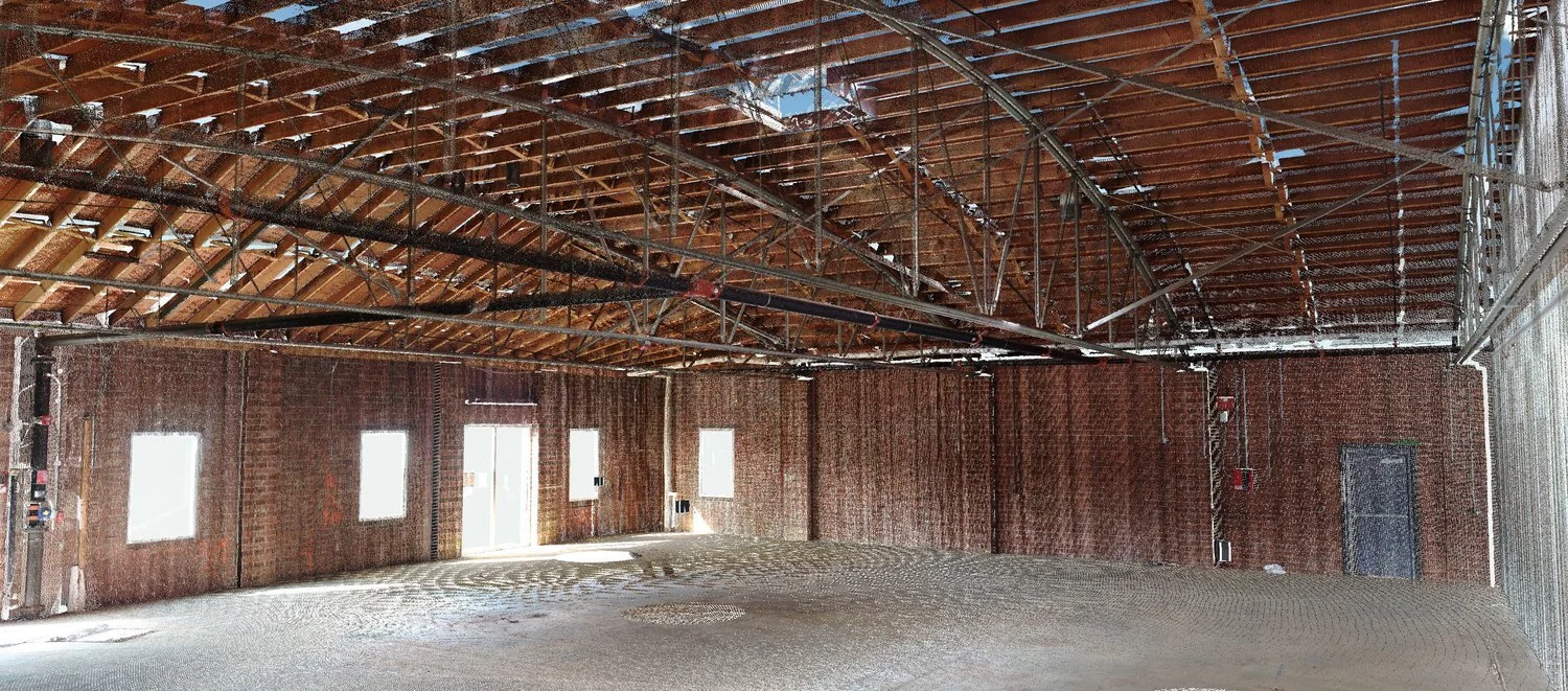
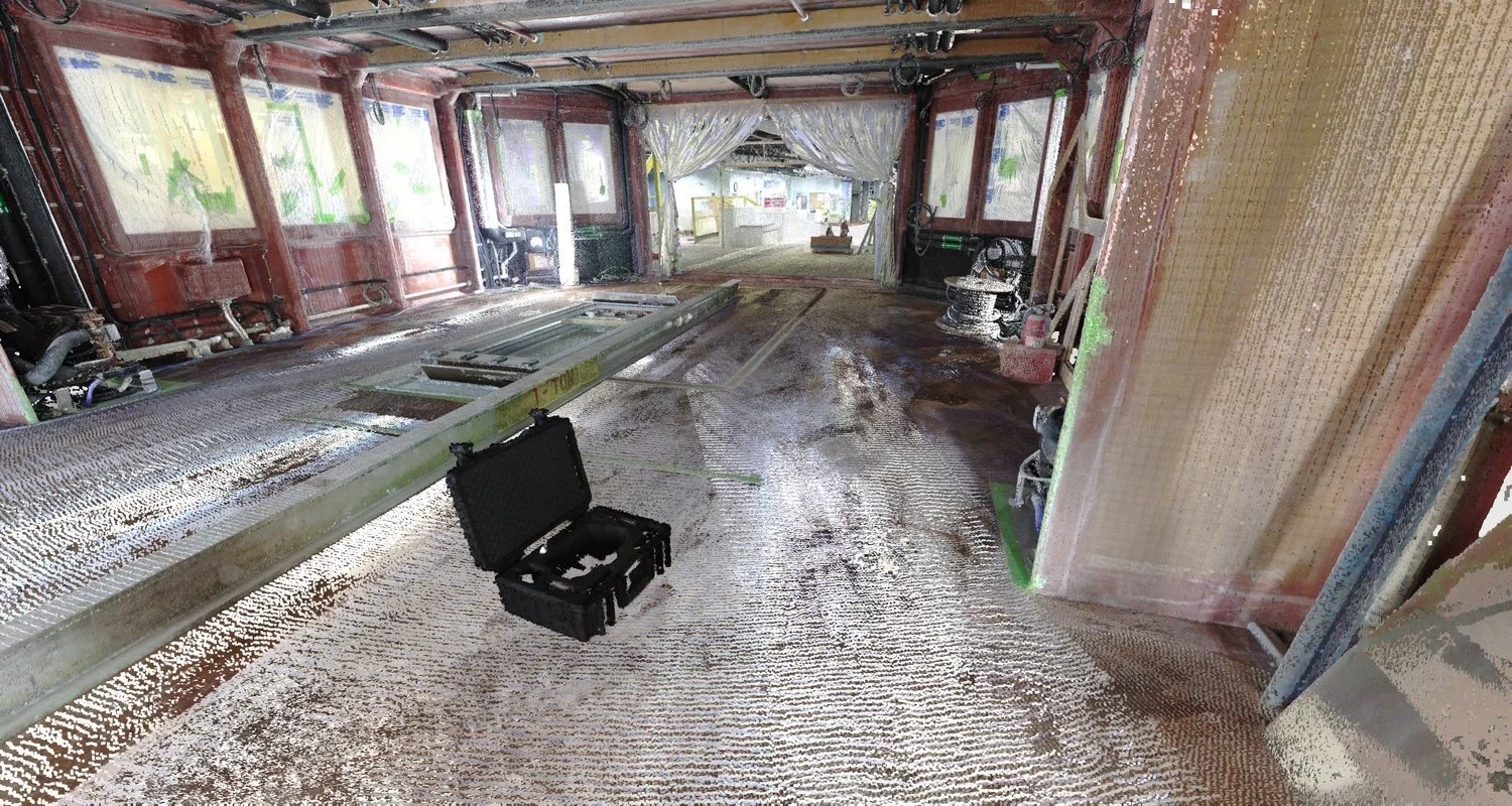
LIDAR (Light Imaging, Detection, and Ranging) is used to collect points from objects being scanned. A full collection of points collected during a scan is called a point cloud.
How does it work? The scanner sends a laser "pulse" that reflects off of an object and returns back to the scanner. The scanner can then calculate the distance to the object, (speed of light x travel time)/2. A point is placed where the laser reflects off of the object. Scanners vary in the number of points that can be placed per second.
In addition to placing points, most scanners also take color high resolution 360° images, that are used with the point cloud.
Who uses it?
Architects
Civil Engineers
Engineers
Facility Managers
Construction Contractors
Surveyors
ShipBuilders
Naval Architects
Interior Designers
What are the benefits?
With the point cloud and images collected by scanners, a complete picture of the current "as-built" environment exists. This allows for accurate and convenient measuring, 3D images, and data that can be used in CAD. Manually collecting as-built information is labor-intensive, incomplete, and inaccurate. This often requires several trips to a job-site and remains incomplete and inaccurate. With laser scanning, you get (as defined by Faro Technologies):
The rapid, simple, and complete recording of the current status of buildings and building sites.
Immediate processing of the data in all commonly used CAD programs.
Simple variance comparison in the construction process and in the case of final building inspections.
Greater transparency, greater legal certainty in claim management.
Revolutionary price/performance ratio.
Digital current data is available for the entire building lifecycle.
Web-sharing tool facilitates working with partners.
Deliverables from the scanner:
Point Cloud - Can be viewed using free software that views and measures.
Images
CAD - Using reverse engineering software (we use Geomagic Design X) 2D geometry can be extracted and/or 3D models can be created. The point cloud can also be pulled into most CAD software
Please contact us with any further questions..